Re-City
Re-City exhibits a curated type of mapping that digitally spatialises and layers multiple knowledge bases.
Investigators
- Louise Wright
- Catherine Murphy
- Thomas Heath
Funded by
- Henry Halloran Trust
Partner organisation
- University of Sydney School of Architecture
Undertaken within
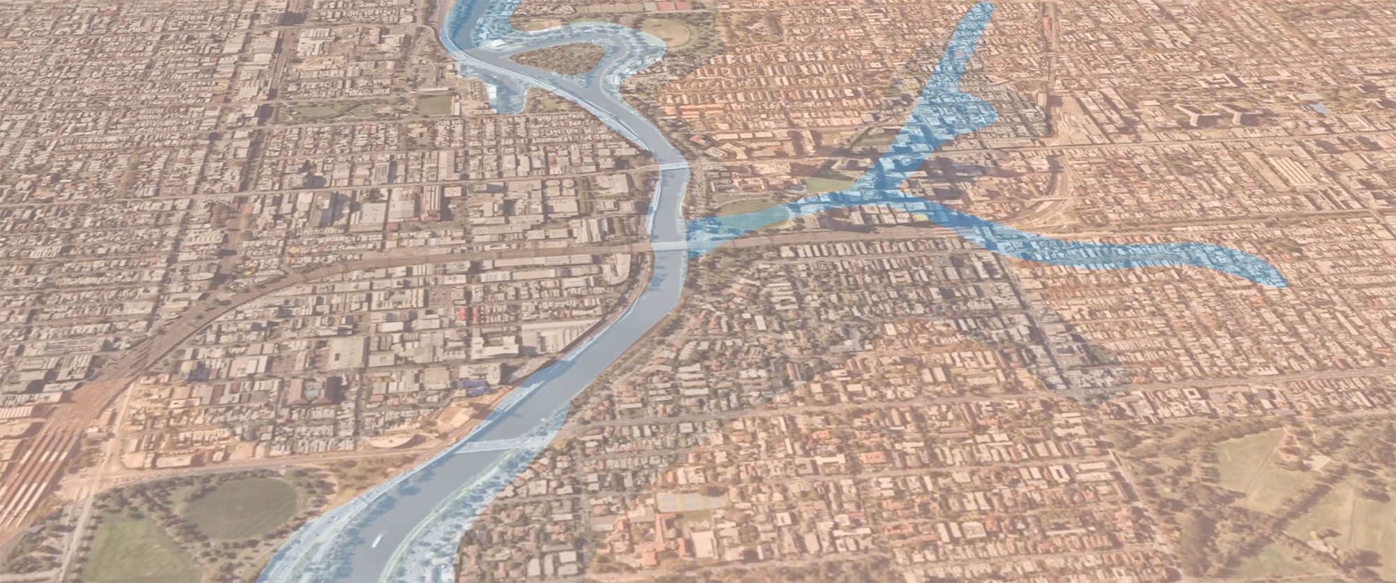
The ReCity Project aims to create an alternative city plan that makes room for nature’s requirements. The making of this tool is the first stage of a longer project which asks: in the context of the climate emergency and rapid urbanisation, how might we create regulations that enable a more dynamic and responsive city that accommodates the needs of natural systems alongside our own?
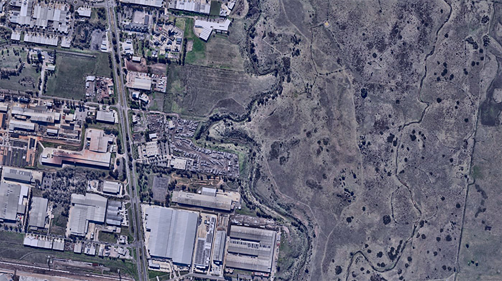
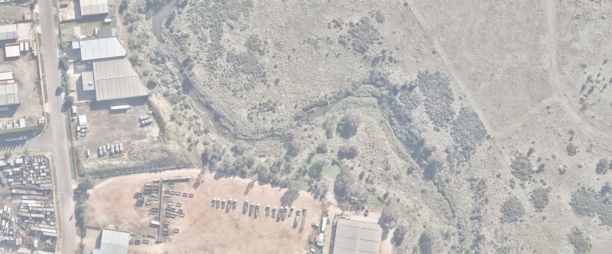
This online exhibition investigates the importance of alternative methods and processes of interrogating the future of the city. It documents multiple ways of knowing the Melbourne metropolitan area so as to inform how we might shape it in the context of the climate emergency and other urban challenges.
Re-City exhibits a curated type of mapping that digitally spatialises and layers multiple knowledge bases, the juxtaposition of which prompts new ways of thinking and acting on the city. This mapping utilising the iHUB visualising platform, based at Monash Caulfield, to represent complex multi-scalar and layered spatial data to map diverse information such as geology, vegetation, urban and built form, regulatory frameworks, among others. The objective is to use this technology to juxtapose these knowledge systems to reimagine how we know and re-make our city.