
Seeing the Unseen: Satellite data for responsible mineral supply chains
Dr Nikolas Kuschnig, 2026
Purpose
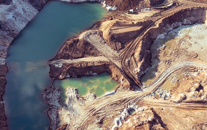
Governments, industry and civil society lack the data to understand and respond to the links between armed groups and artisanal mining. Nikolas Kuschnig set out to close that critical gap, strengthening responsible mineral supply chains and improving livelihoods.
Practice
Building on prior computer vision work for monitoring mines, the team developed a monthly satellite-derived panel dataset of artisanal and small-scale mining activity across the eastern Democratic Republic of the Congo, combined with high-frequency conflict event and territorial control data.
Output
The project produced a monthly census of mining activity and an automated machine learning workflow for delineating fine-scale mining footprints from satellite imagery – in previously inaccessible, conflict-affected areas.
Outcome and impact
This gives governments and international organisations a safe, scalable and cost-effective tool to support due diligence, helping reduce financing opportunities for armed groups, mitigate downstream environmental impacts, and protect vulnerable communities.